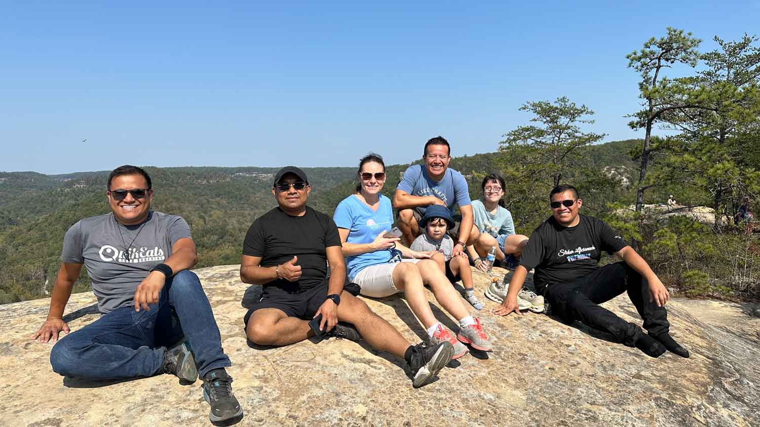
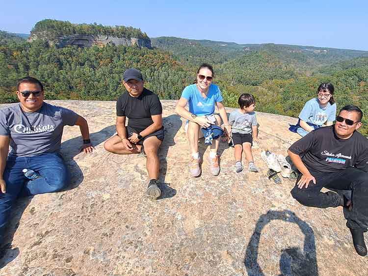
Visit Grays Arch Recreation Area
Rating: 9/10

Grays Arch Recreation Area

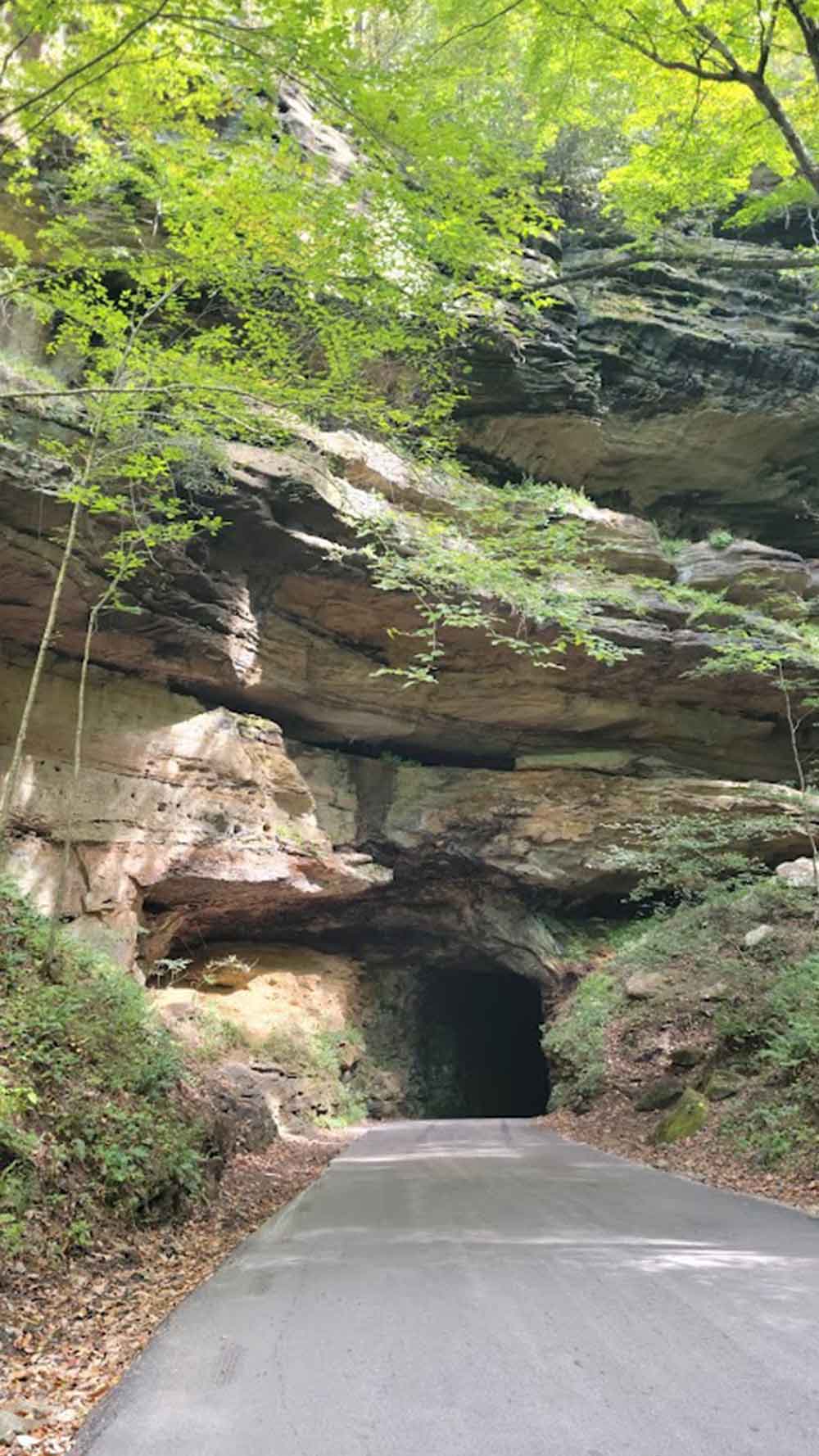
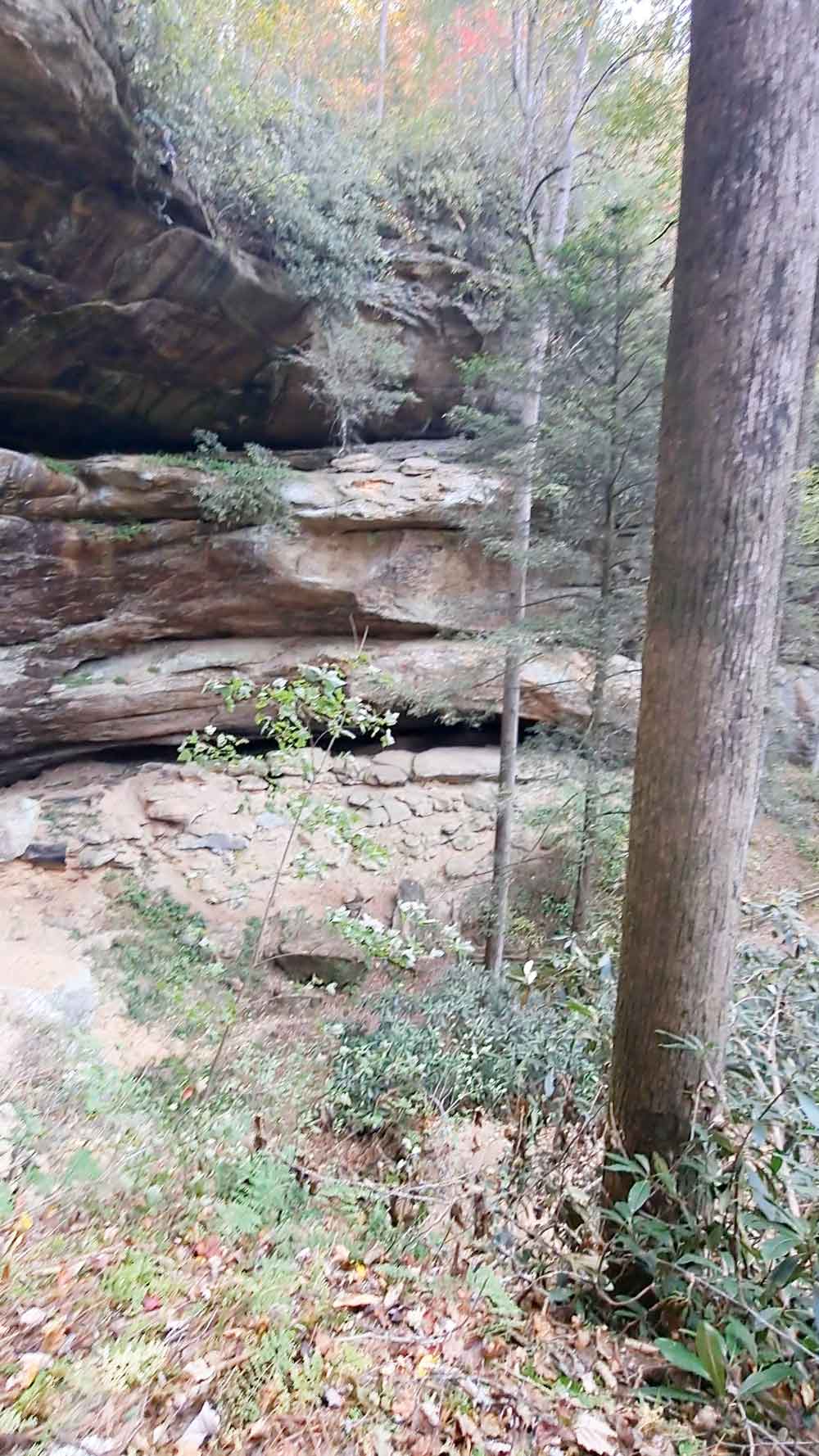
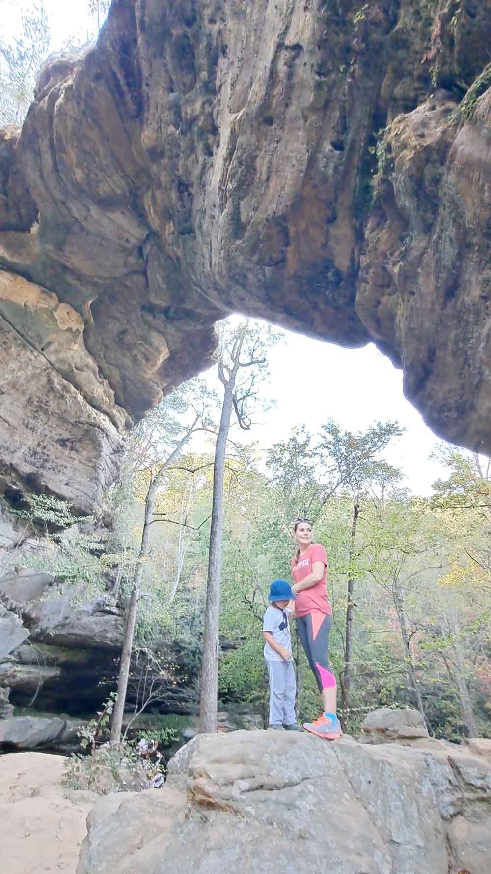
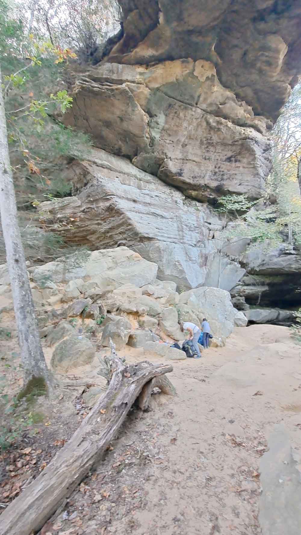
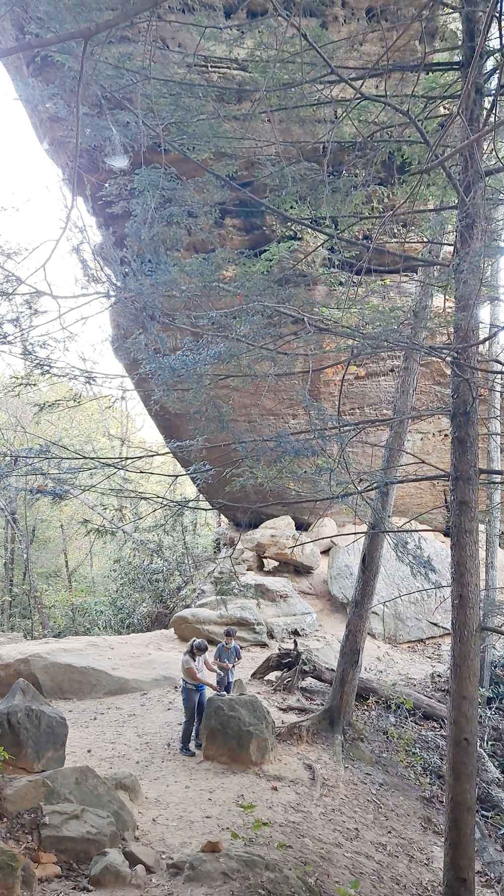
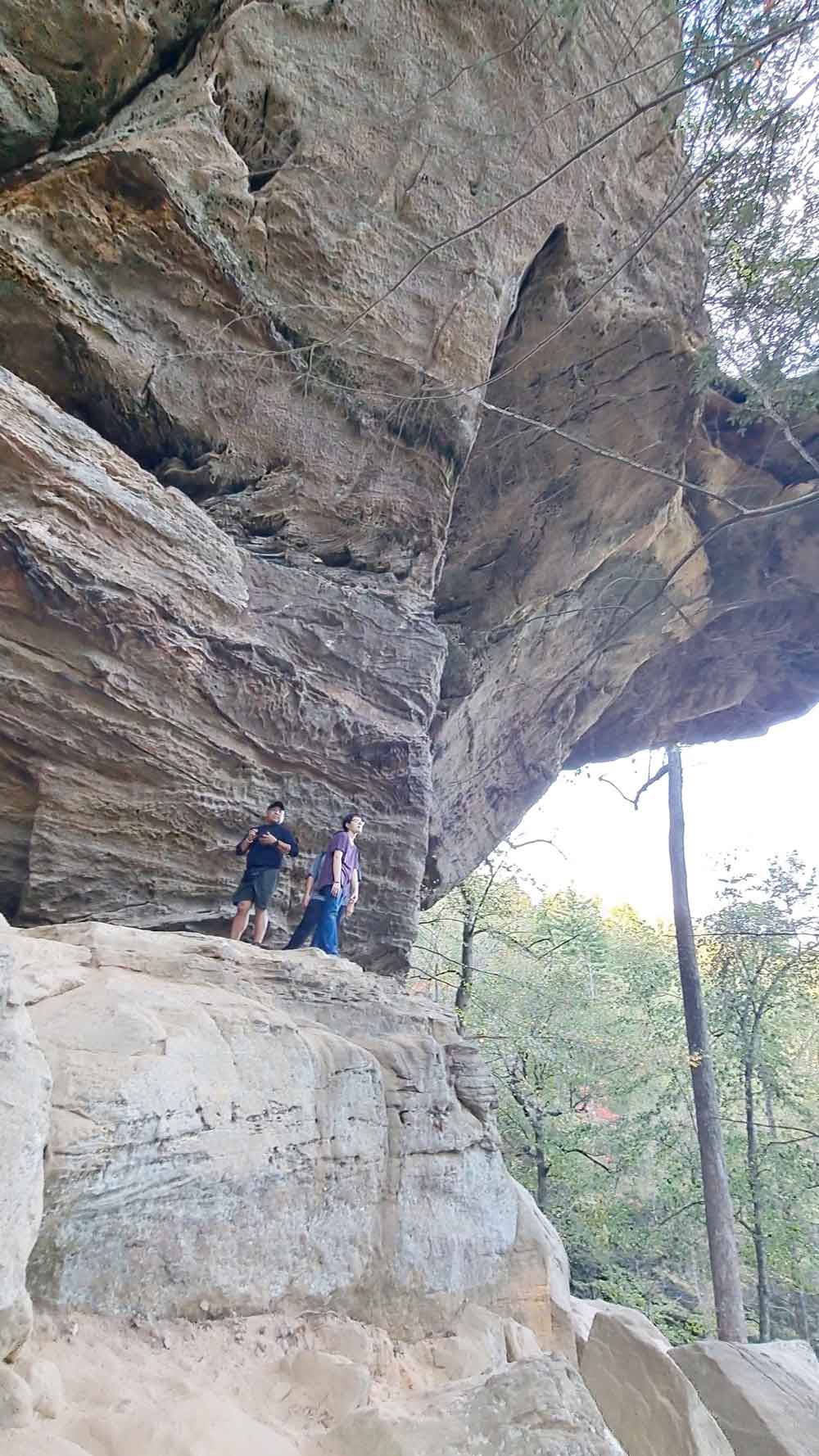
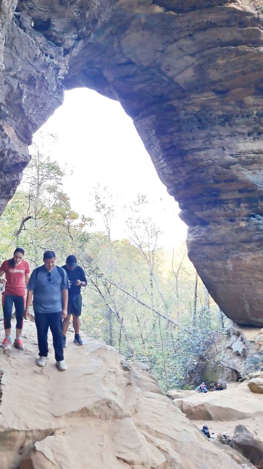
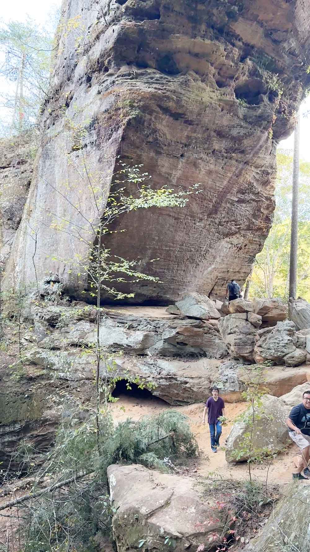
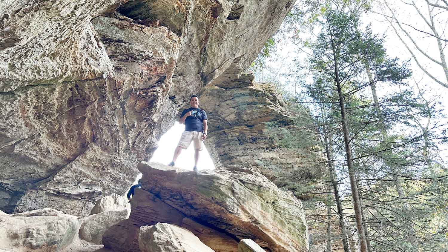
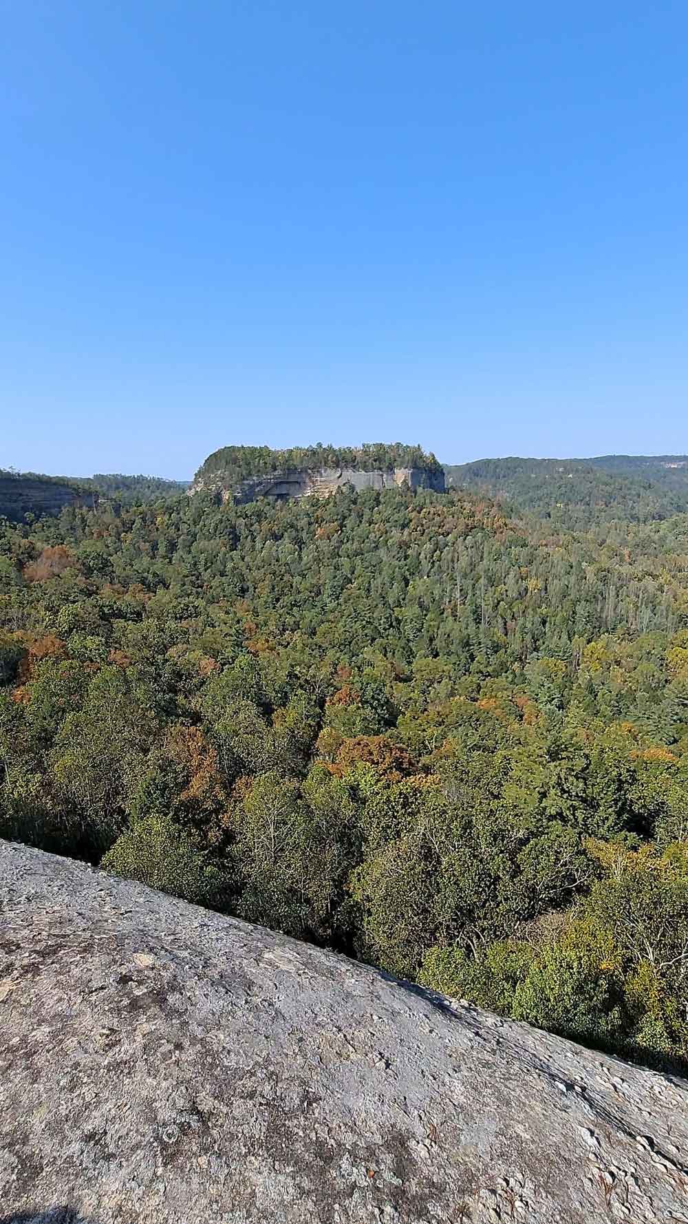
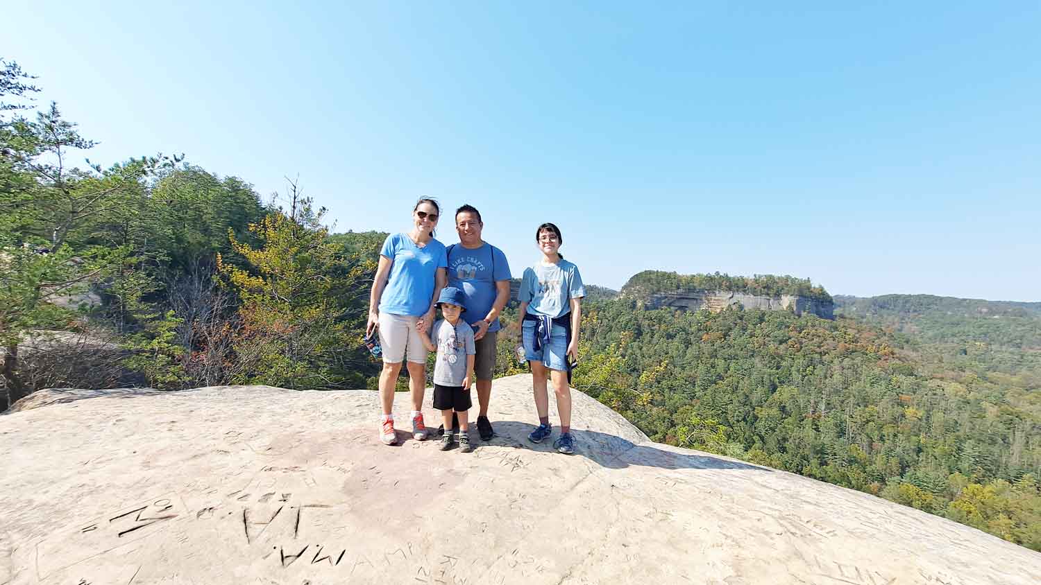
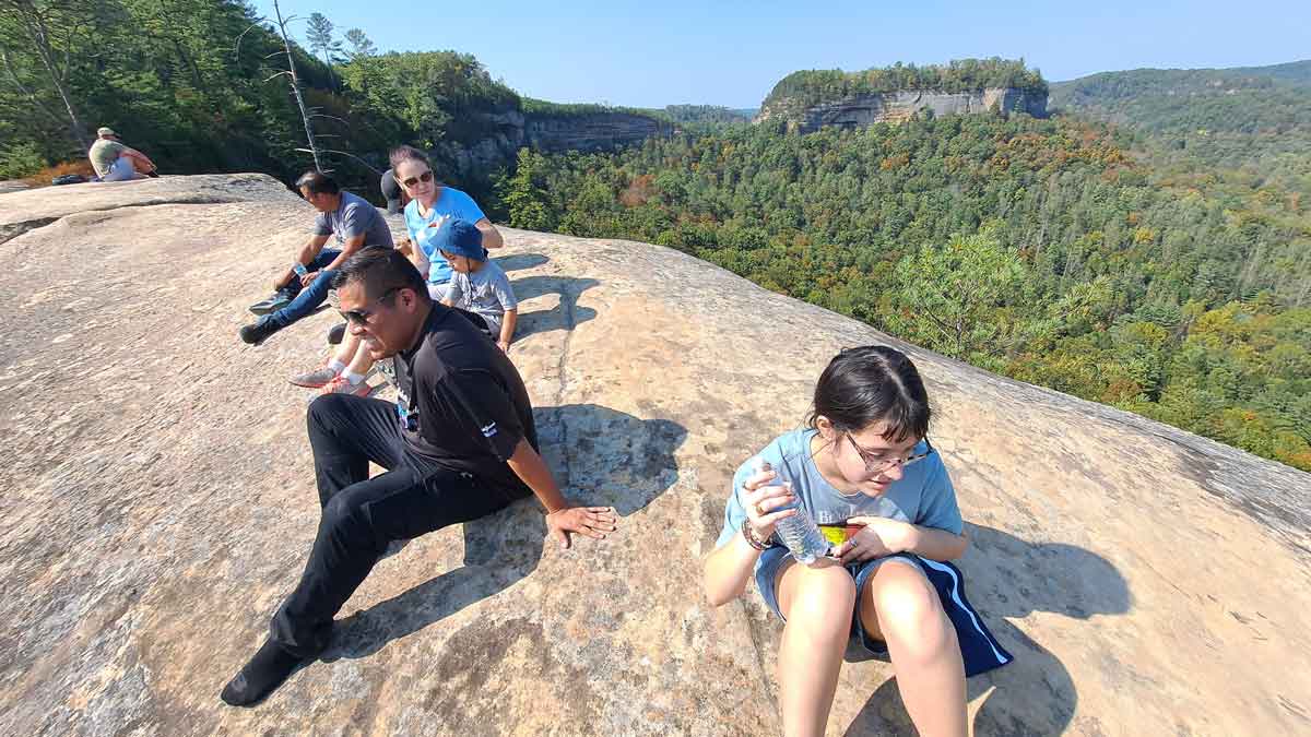
Grays Arch Recreation Area is part of the Red River Gorge Geological Area. Keep this in mind before planning your trip. The area is very large, and there are many, many places to explore, and unfortunately I have not been able to do it personally, but I am happy to share some of the places we have visited. In this place, you will be able to do a lot of hiking and see many amazing views. Our itinerary below is for 2 days. Here we give you details of the top-3 interesting places.

Our Trip Grays Arch Recreation Area

Nada Tunnel is literally a tunnel. If you are claustrophobic, we recommend that you do not drive through it. It is very easy to have an accident. The tunnel is one-way and is very heavily traveled, so it may take you a long time to get a chance to go through it.

To Tunel

Gray's Arch is an amazing natural formation, but it is about 2.5 miles one way to get there. The trail can be a bit confusing in certain spots, so it is important to have a basic sense of navigation.

To Grays

To get to Hanson's Point from the previous location (Gray's Arch), it is about another 5.5 miles, so good physical condition and plenty of water are necessary. The trail will be more confusing and more difficult. To reach this point, you need to follow the Rough Trail #221, then turn left onto the Hanson's Point Trail until the end.

To Hanson's

Always check your destination's weather forecast, & save maps offline.

Gallery Grays Arch Recreation Area

Grays Arch Recreation Area

Highlights
  • Safe
  • Poor Connectivity
  • No Public Transportation
  • Self-Guided
  • Open Year Round
Activities
  • Hiking
  • Picnics
  • Playground
  • Pet Friendly
  • Nature Center
  • Pools
  • Outdoor Concerts
  • Camping
Amenities
  • Public Restrooms
  • BBQ Grills
  • Picnic Tables
  • Store
  • Restaurants
  • Cabins
  • Lodge Available
Nearby Cities
  • Clay City
  • Campton
  • Irvine
  • Rogers
  • Frenchburg
  • Jeffersonville
  • Mount Sterling
  • Beattyville
Today's Forecast
88°F / 60°F

Sunny

10-Day Forecast
4.9

Based on 224 Google reviews

"We took this trail as well as part of Rough Trail and Pinch ‘Em Tight, to create a full loop back to our car. Pinch ‘Em Tight was a great start to..."
— Macey Brown
"Great trail! 2.5 miles out and back trail. Easy in the beginning, flat and steady, but grows to slightly moderate closer to the arch either stairs and..."
— Heather Brushwood
Banner
Phone
606-663-8100
Address

Fd-1103, Stanton, KY 40380, USA

Hours
  • Monday: Open 24 hours
  • Tuesday: Open 24 hours
  • Wednesday: Open 24 hours
  • Thursday: Open 24 hours
  • Friday: Open 24 hours
  • Saturday: Open 24 hours
  • Sunday: Open 24 hours
Cash Mastercard Visa Discover Amex Checks
QR

Scan on mobile

Trail Explorer
Click on a trail to inspect route metrics
OSM Open Data
Processing route geometry...
No trail selected

Select any dashed line on the interactive map to view available elevation, surface, and length data.

Technical Parameters

Unknown Route

Distance --
Incline (OSM) --
  • Infrastructure Type --
  • Surface Type --
  • Difficulty (Sac Scale) --