Located farther along the creek beyond Devil's Backbone, Mill Branch Cascade is a secluded water feature within the Bell Smith Springs Recreation Area of the Shawnee National Forest. Flowing over layered sandstone shelves, the creek creates a rugged landscape shaped by moving water and exposed rock. Reaching this quiet corner of the canyon requires careful navigation through primitive terrain, making preparation an important part of the visit.
Waterfalls & Natural Beauty
Mill Branch Cascade showcases the relationship between flowing water and the sandstone landscape of the Shawnee National Forest. Its appeal comes from the combination of layered rock, a narrow creek channel, and the secluded setting within the canyon.
Hidden Cascades
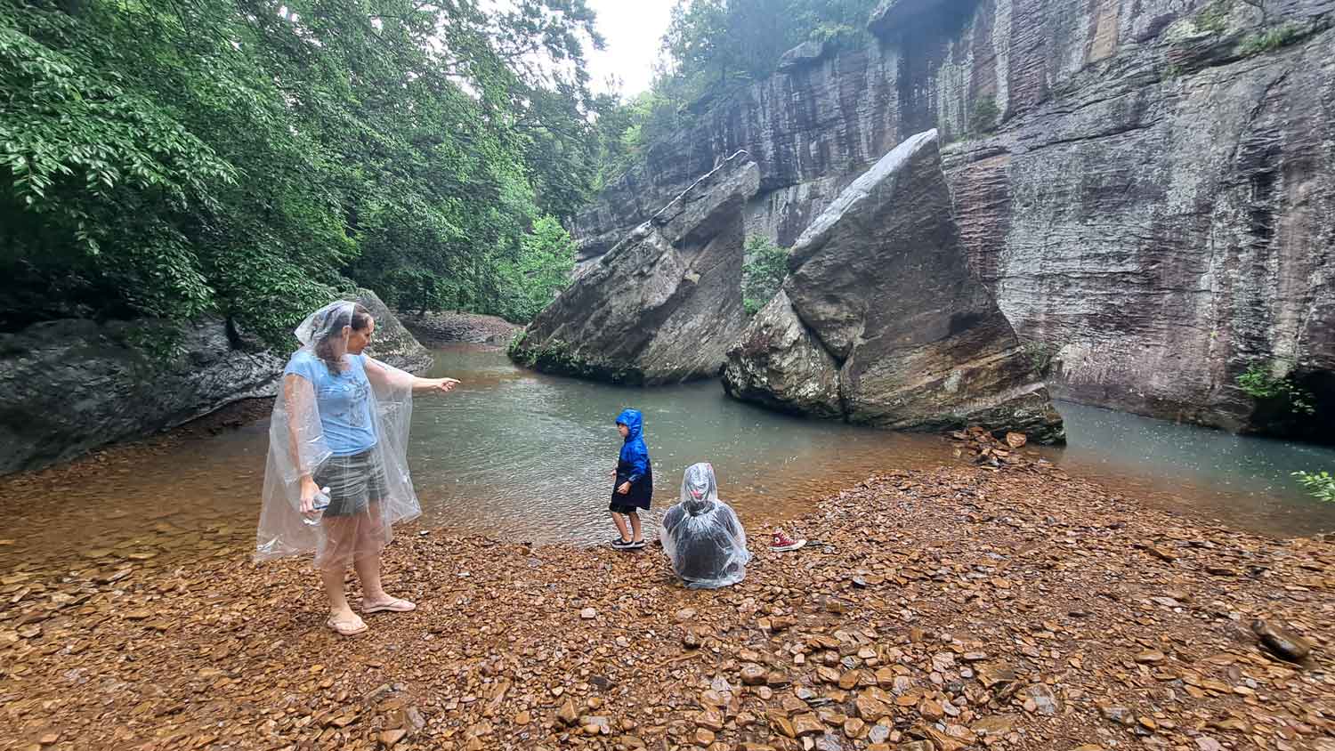
The creek flows across exposed sandstone shelves and uneven rock formations, creating a small cascade tucked into the canyon floor. Water levels and the appearance of the cascade can change with recent rainfall and seasonal conditions.
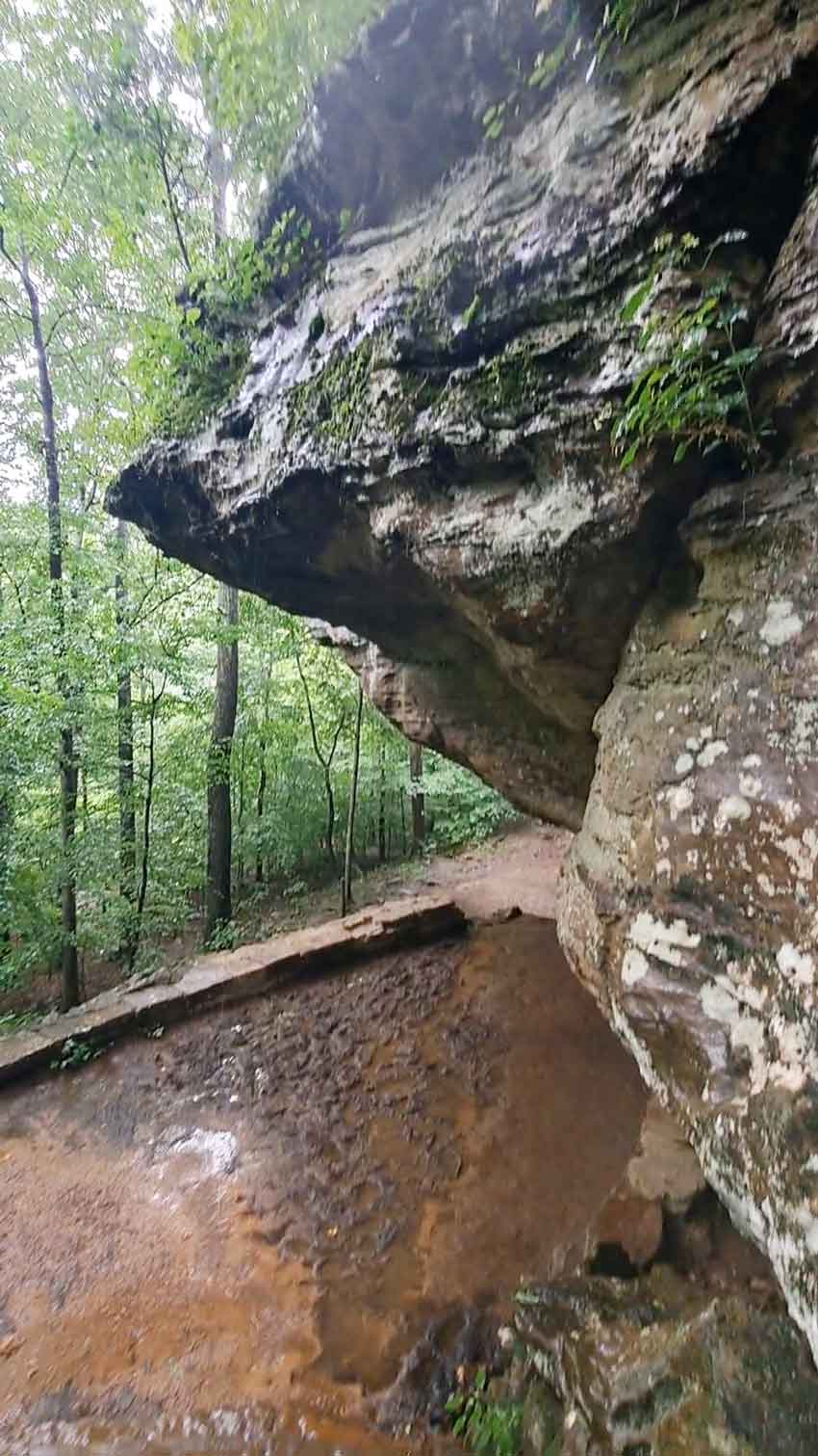
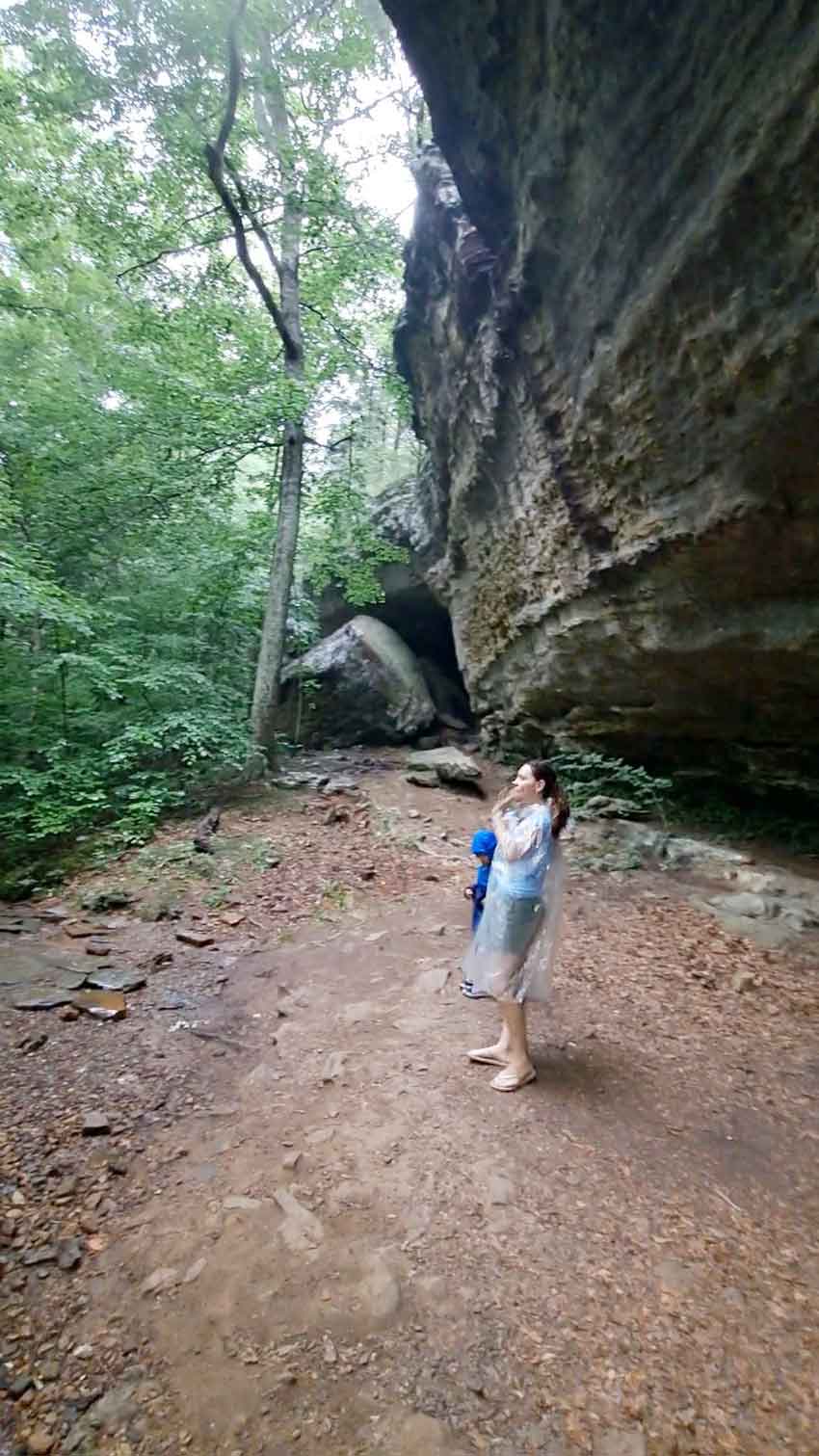
Layered Sandstone
The surrounding rock shelves and creek bed reveal the rugged character of the local sandstone terrain. Over time, flowing water helps shape channels and contours through the exposed rock, giving the area its distinctive appearance.
Winter Ice Formations
During periods of sustained freezing temperatures, water dripping over the sandstone shelves can freeze into icicles and dramatic sheets of ice. The cascade may take on a completely different appearance in winter, transforming the flowing creek into a striking frozen landscape.
Winter visits require extra caution
Frozen rock, ice-covered creek edges, and hidden slippery surfaces can make this route particularly hazardous. Avoid climbing on ice or walking beneath unstable icicles and ice formations.
Winter conditions can also make the primitive route harder to follow. Visit only when conditions and your equipment are appropriate for the terrain.
Trail Access & Difficulty
Reaching Mill Branch Cascade involves following rugged terrain along the creek beyond the Devil's Backbone area. The route is not a conventional paved walkway. Depending on conditions, hikers may encounter exposed rocks, uneven footing, narrow passages, and sections that require careful movement beside the water.
Prepare for a demanding creek walk
The rough terrain can make progress slower than expected. Allow enough time for both the approach and return, carry drinking water, and avoid attempting difficult sections when wet weather makes the rock surfaces unsafe.
Know your route
Review a current recreation-area trail map before setting out. Do not assume the creek provides a straightforward path, and turn back if the terrain or water conditions become unsafe.
Safety & Visitor Tips
Wear high-traction hiking boots
Wet sandstone, loose stones, and uneven creek-bed surfaces can be exceptionally slippery. Wear sturdy footwear with good grip and move slowly across exposed rock.
Check rainfall and flash flood warnings
Heavy rainfall can rapidly increase creek levels and make canyon routes dangerous. Check weather alerts before your visit, and avoid entering low-lying creek areas when flooding is possible.
Dress for seasonal conditions
Cold weather can create icy surfaces along the creek and on exposed sandstone. Wear suitable layers, assess conditions carefully, and avoid traversing ice-covered rocks.
Carry essential supplies
Bring drinking water, a trail map, a charged phone, and weather-appropriate clothing. Let someone know your plans, and allow extra time for the rugged route back to the main trail area.
Before You Visit Mill Branch Cascade
Conditions along the creek can change with rainfall, temperature, and season. Check current weather forecasts, flash flood alerts, and recreation-area access information before your trip. Because the route is rugged and follows the water's edge, postpone your visit if high water, heavy rain, ice, or slippery rock makes travel unsafe.
Visit the U.S. Forest Service